Hills and mountains
Published
The shape of the ground comes from NASA’s height map.
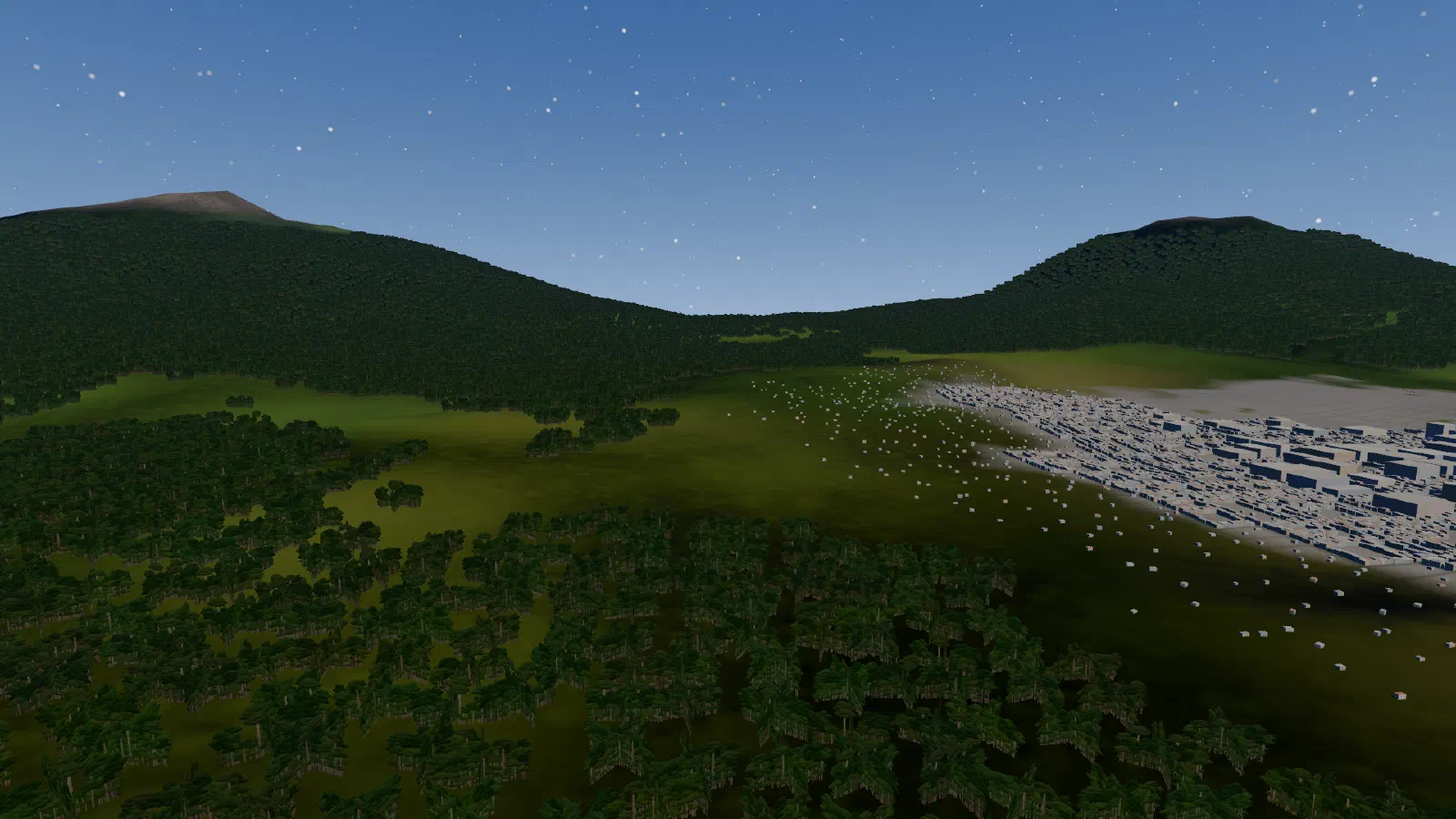
- A curved grid follows the Earth: 401 points a side, about 0.5 km apart in the middle of an area and 2 km at its edge. It runs past the horizon, so no square edge ever shows.
- Generated ridges add the detail the map lacks: up to 800 m on high ground, none at sea level. The peaks they make are invented.
- The colour comes from NASA’s map, with generated patterns by land type: farmland, forest canopy, and bare rock above a tree line.
- It is the ground for every rule: ships at Low hold 300 m over exactly the hills you see.
More: Bukittinggi, between two volcanoes; height bands.