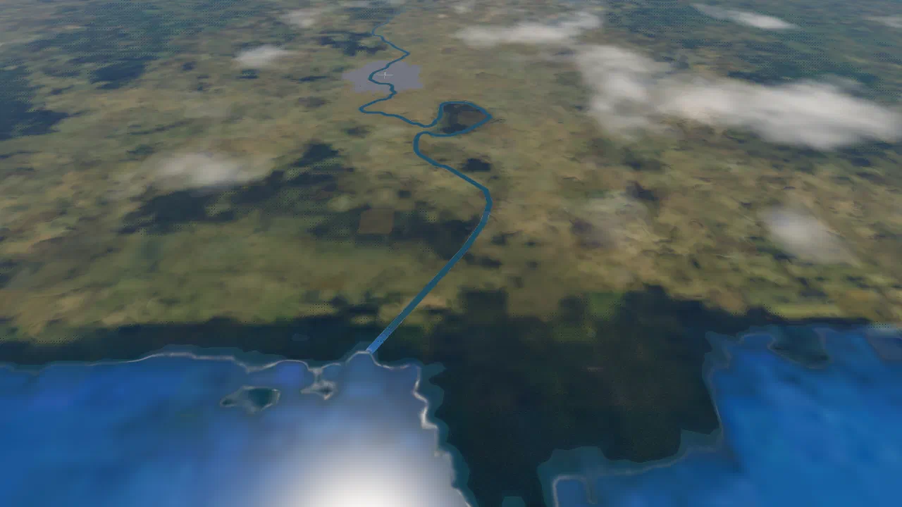
Terrain Features
What the ground is made of, down in the atmosphere. All of it is drawn from satellite and map data, with generated detail on top.
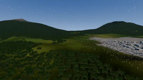 Hills and mountains
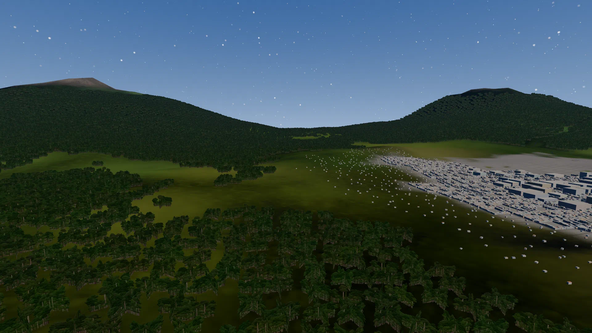
The shape of the ground comes from NASA's height map, curved with the Earth, with generated ridges for the detail the map lacks.
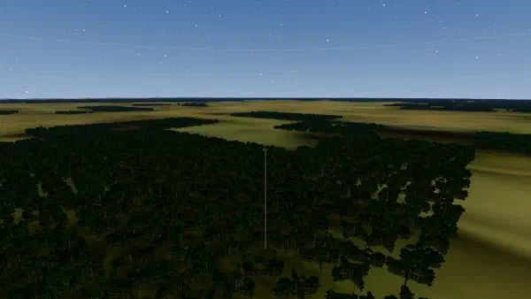 Forest
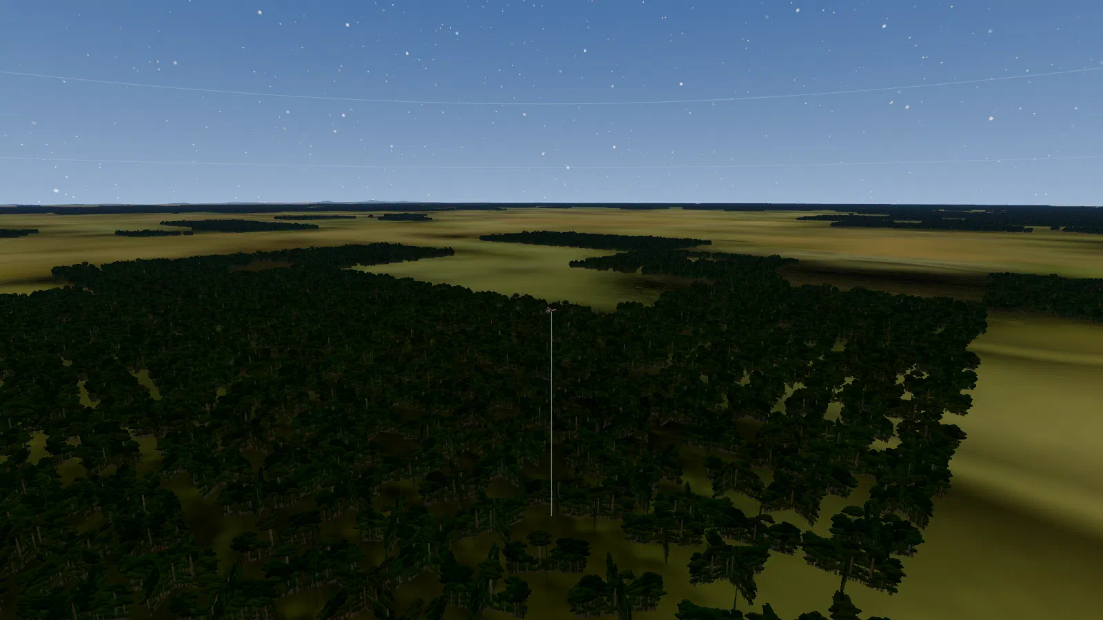
Rainforest grows only where the satellite map shows forest, and fills a whole area 200 km across, drawn as clumps of trees about 100 m wide.
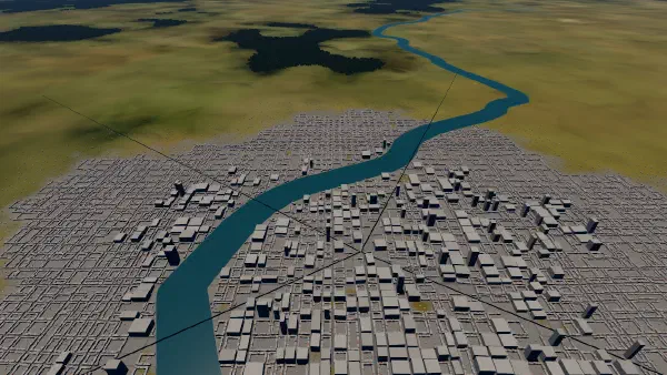 Rivers
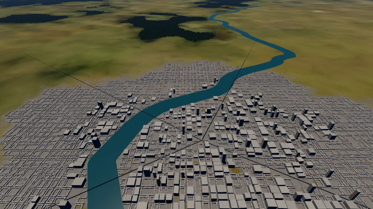
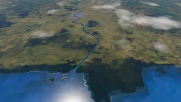
 drawn from river data, each as wide as its flow, running on to the sea. Nothing lands, grows or is built on them.
 Towns
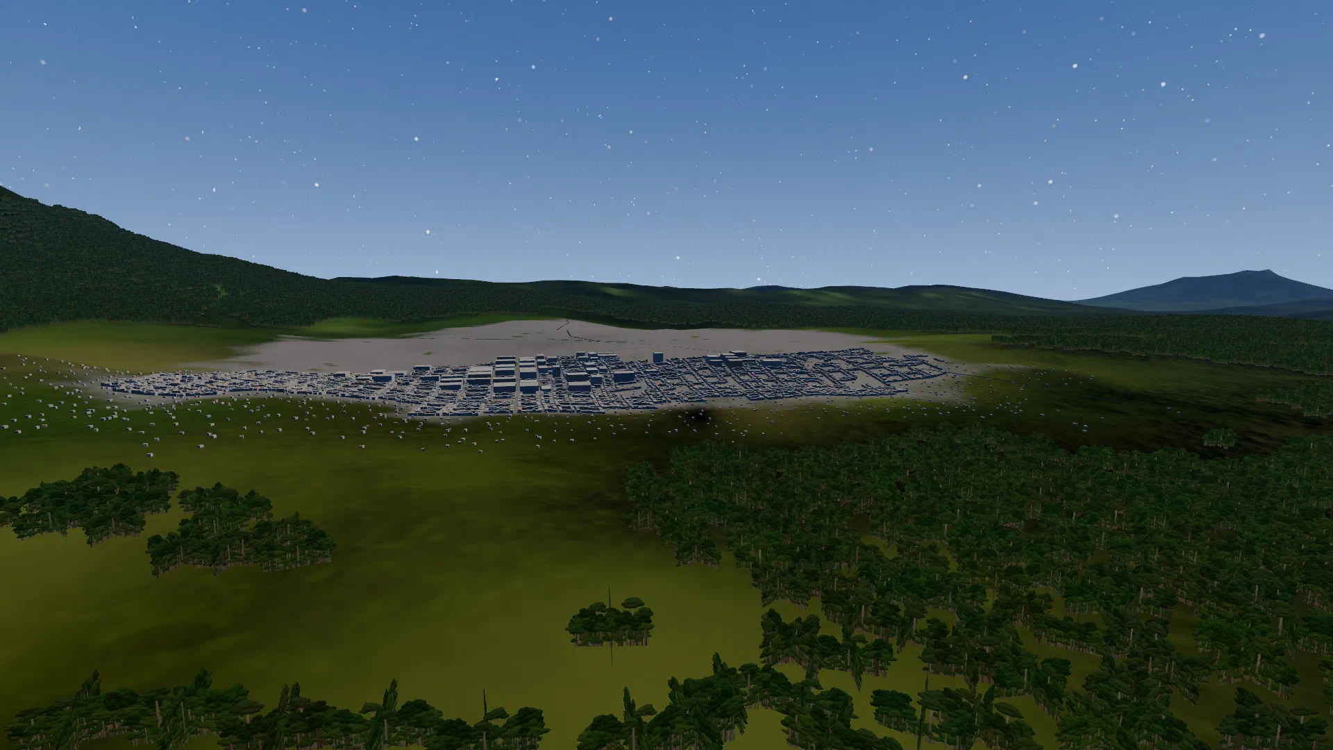
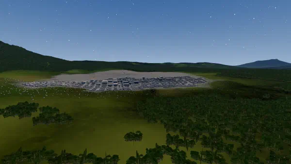
Towns are generated, not mapped: streets, shophouses, a dense core and a few towers. Ships cannot land in a town or its fringe.
 Sea
The sea comes from the satellite map: clear blue counts as water for the ground, the trees and landing alike.