Moving water, real coastlines and towns with neighbourhoods
Published
In short: the ground now looks right when you fly low. Water moves and reflects the sky, rivers have banks, the coast is the real coast, grass and bushes grow near the camera, and towns have neighbourhoods and tiered towers.
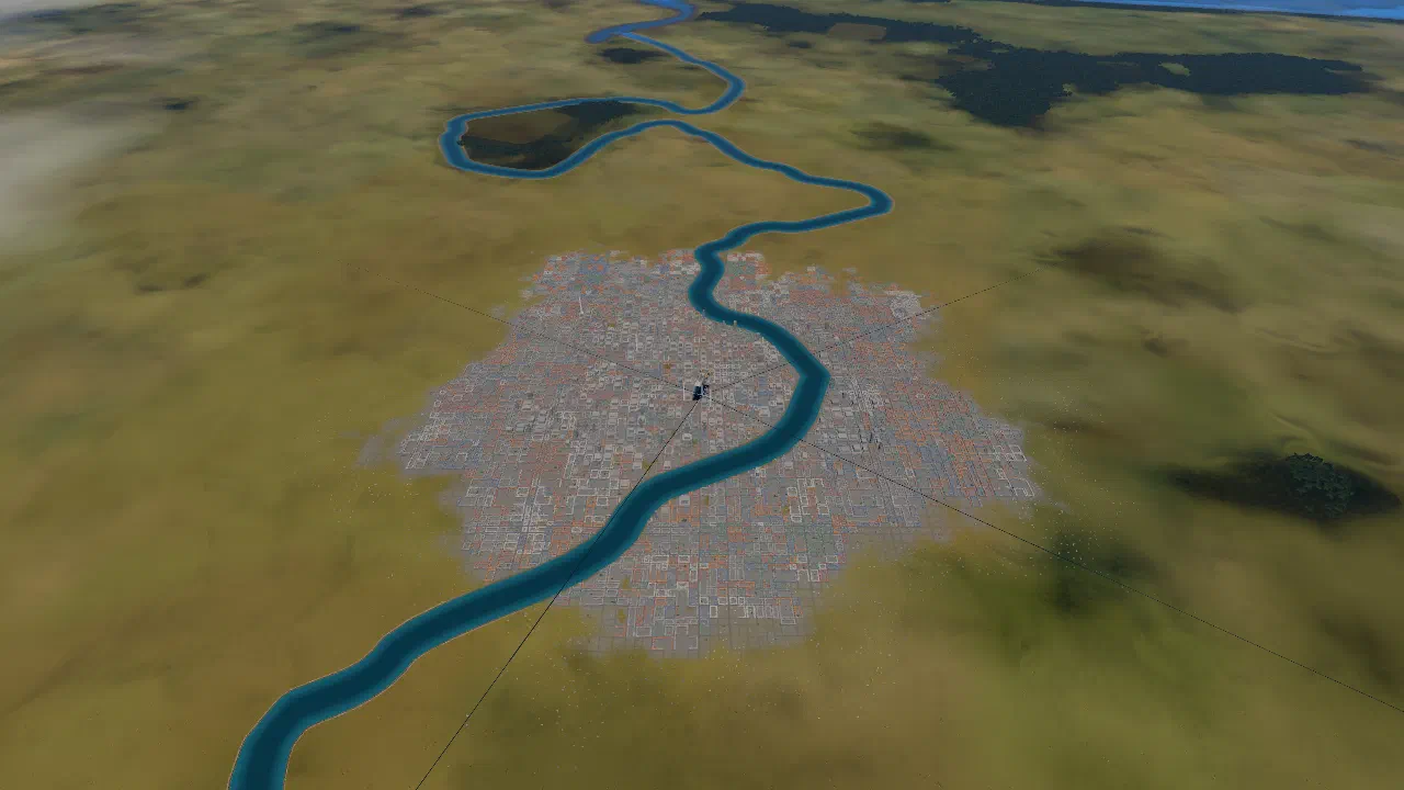
Towns with neighbourhoods
Towns used to be grey blocks. Now:
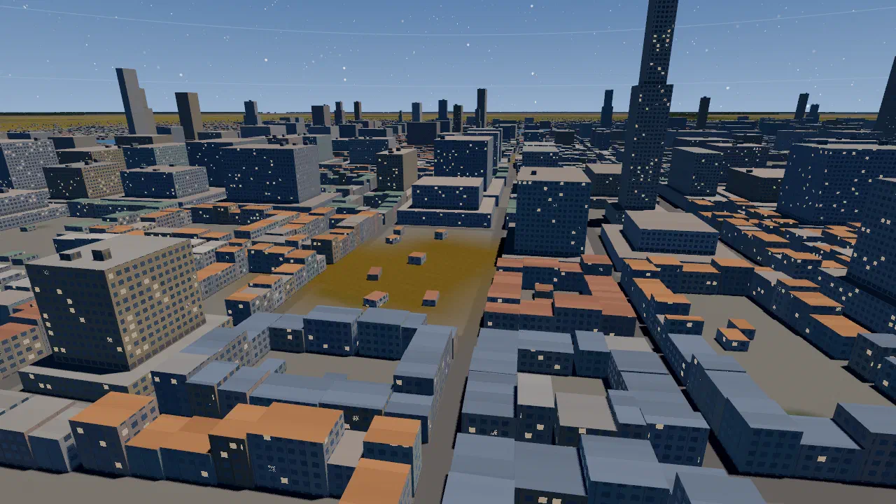
- Roofs by neighbourhood. Whole blocks share one roof colour, orange, slate or green, instead of every roof picking its own.
- Green inside town: yards and clumps of trees between the blocks.
- Tiered big buildings. A tall building is stacked from boxes: a wide podium, setback tiers, then boxes on the roof.
The painted ground under a town and the 3D buildings share one roof palette, so a town looks the same from far away as from close.
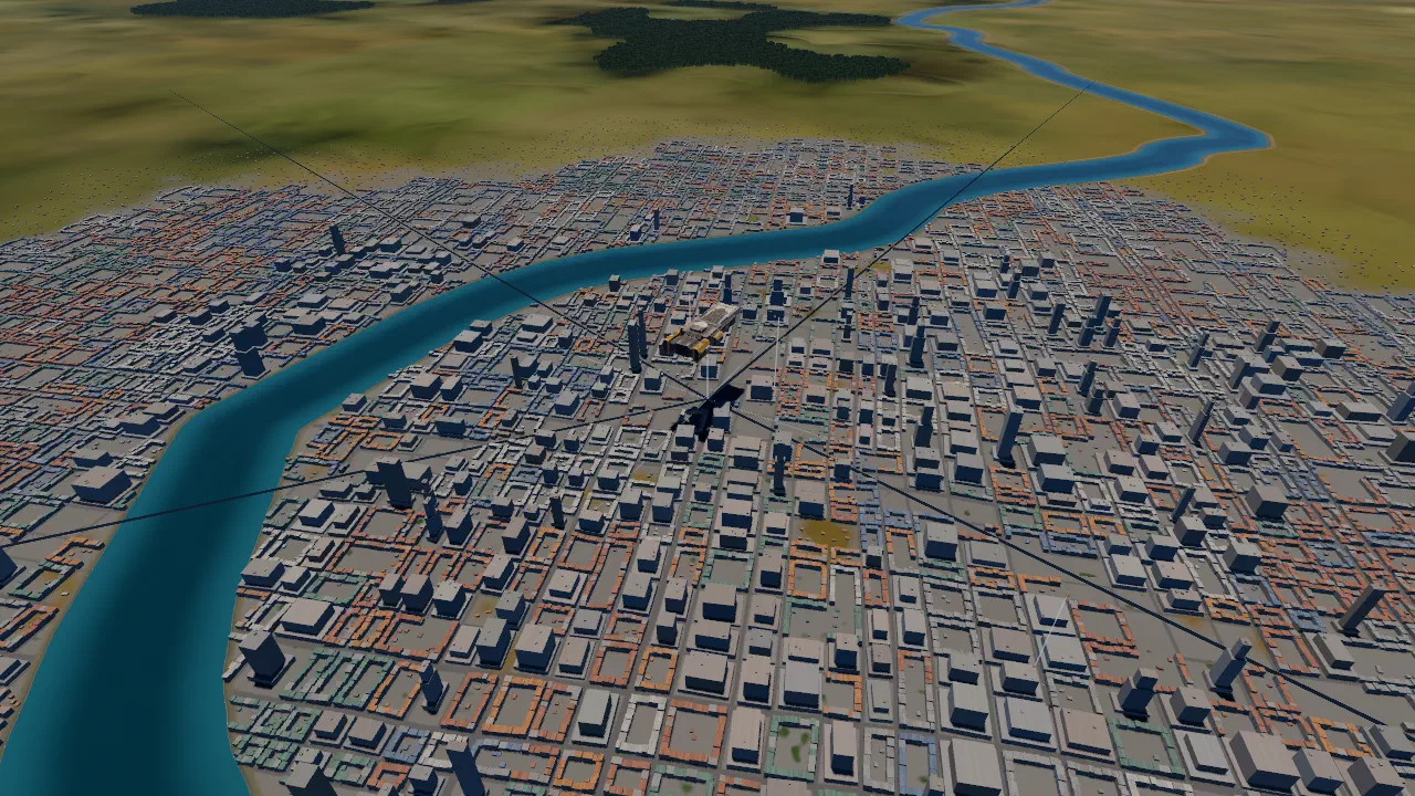
Water that moves
- Waves in three sizes that glint in the sun, calmer on rivers than at sea.
- The sky reflected, more strongly when you look along the water.
- Depth. Rivers are shallow and light at the banks, deep and dark mid-stream, and the land along them is wet.
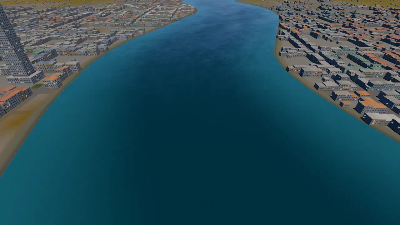
Banks and shores
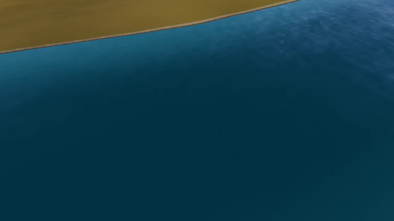
Along a river the land turns to mud, then pebbles, before the water. In town the river runs between concrete embankments. The sea shore is muddy.
A real coastline
The coast used to follow the satellite map’s 500 m pixels. Now it comes from GSHHG, a world shoreline data set[1], and is sharp. Rivers end in its estuaries.
Ground up close
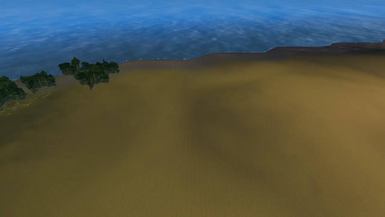
- Ground detail. Photographed ground textures, tiled every few metres by land type, give the ground near the camera grain and bumps instead of flat colour.
- Ground cover. Grass, ferns and bushes grow within 1 km of a low camera, fading out from 650 m, and show while you are under 1.5 km up.
Credits
The coastline is GSHHG (Wessel and Smith), used under the LGPL. The ground textures and the grass, fern and bush models are from Poly Haven (CC0). More: credits.
Related
- Rivers drawn from flow data, sized by how much water they carry
- Towns
- Bangkok: where the game starts
- Credits
Sources
- GSHHG: A Global Self-consistent, Hierarchical, High-resolution Geography Database, Paul Wessel and Walter H. F. Smith, SOEST, University of Hawaii.
A Global Self-consistent, Hierarchical, High-resolution Geography Database