Forest where the map says forest, 100 km round
Published
At Low, 300 m over the ground, trees used to stop 10 km from the camera. Now they fill the whole area, 100 km in every direction from its centre, and they grow only where the ground is forest. The test area is the plain around Bangkok.
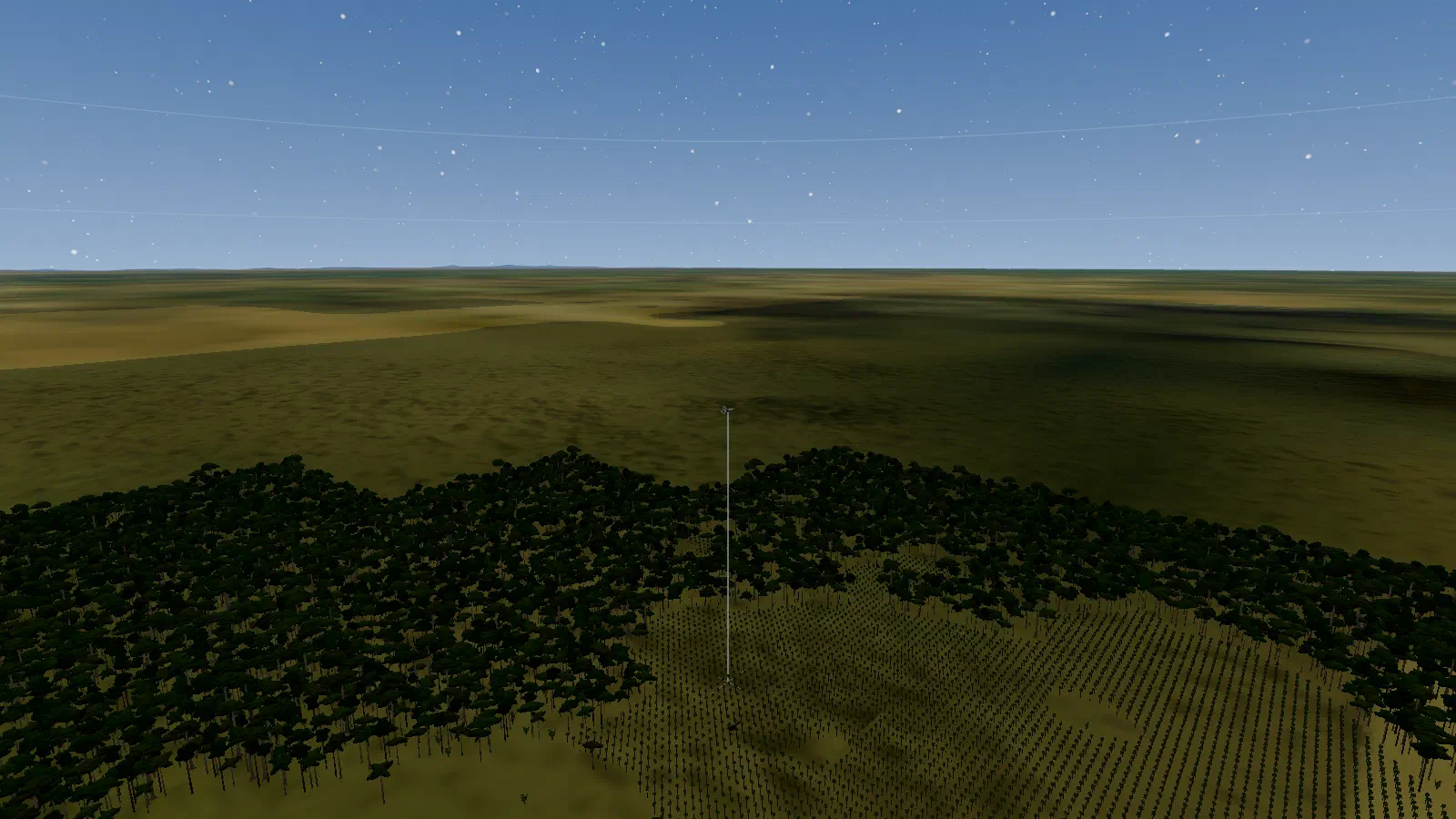
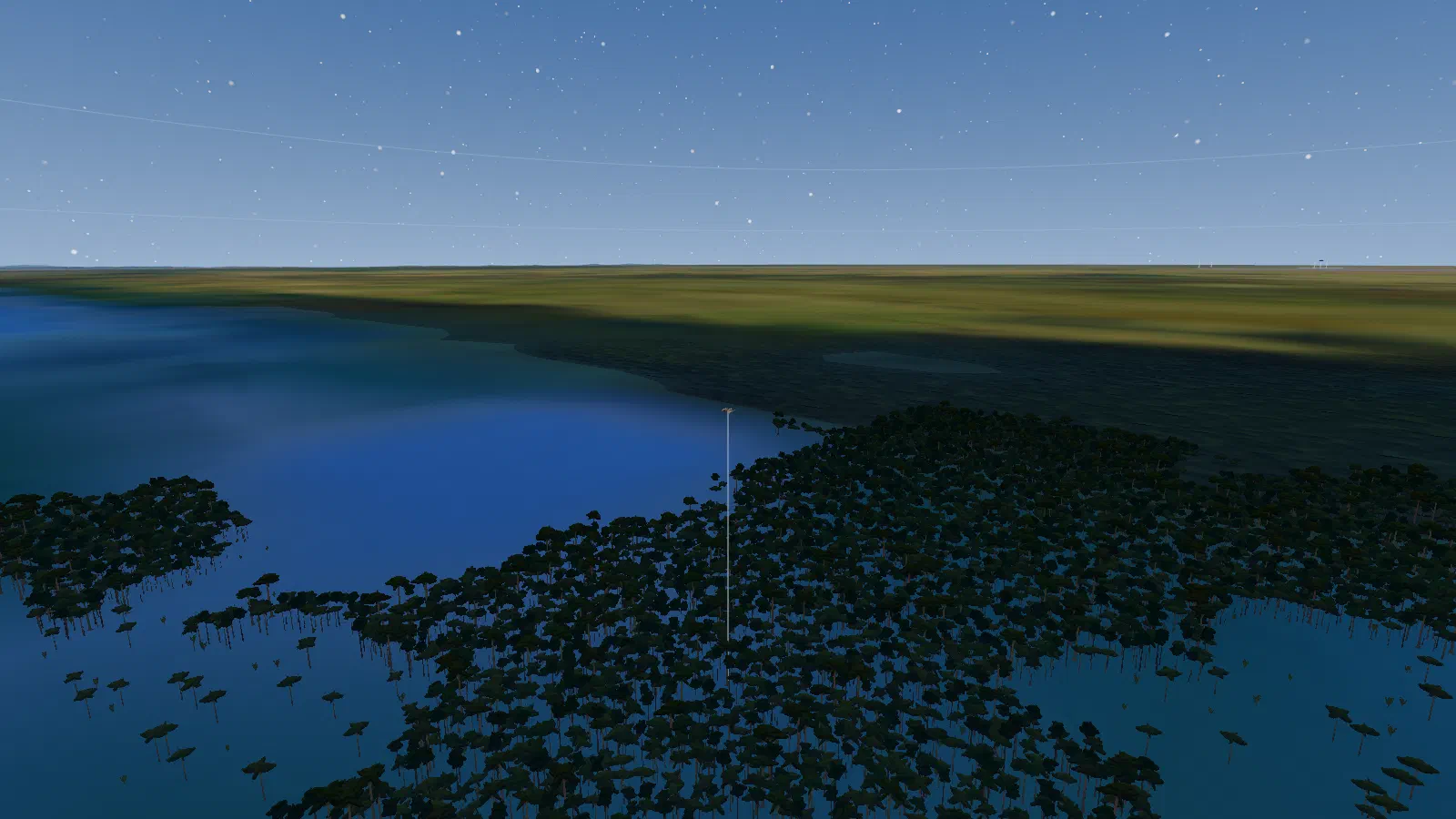
Before: trees in the wrong places
The ground’s colour comes from a satellite map with 500 m pixels. Its land types had been tuned for a brighter map, so the farmland round Bangkok was never recognised at all. Rainforest stood on the paddy plain, and trees grew in the shallow, muddy water of the Gulf of Thailand.
What changed
- Land types re-measured on the 500 m map, so farmland is now its own type.
- Farmland is one big field. We tried patchwork plots, rectangular paddies and soft crop blotches; none looked right. The lowlands are farmed as huge fields.
- Clear blue is water. Muddy coastal water is only a little bluer than land. It was drawn blue but counted as land. Now any clear blue counts as water for the ground, the trees and landing alike.
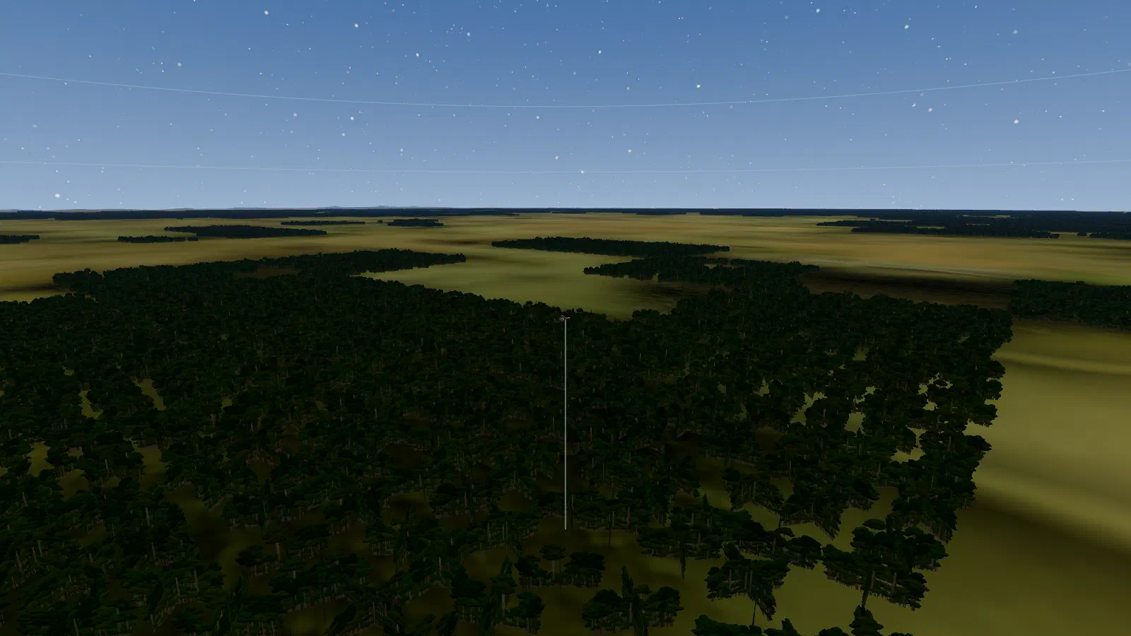
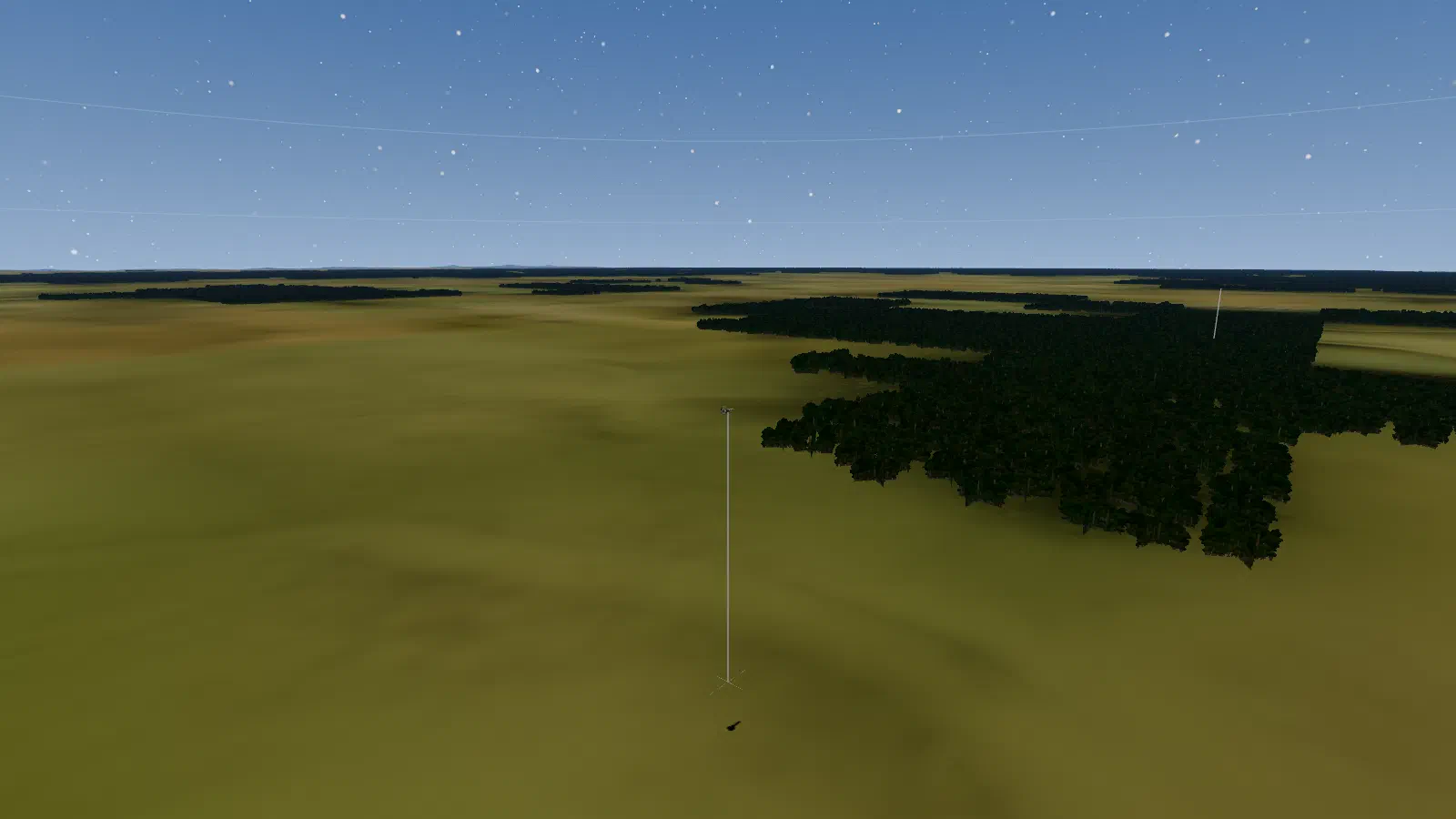
- Trees follow the map. Rainforest grows only where the ground is painted as forest: nothing on farmland, water or town edges.
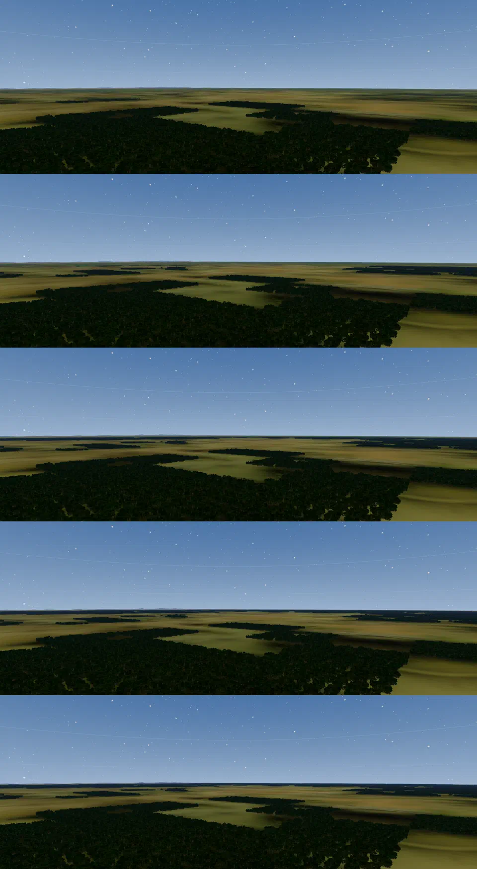
- Softer edges. Forest edges used to follow the map’s pixels, about 1 km across, in steps and straight runs. Now the map is blended between pixels, and a finer roughness, about 300 m, makes the edges wander.
Clump cards
A forest seen from 300 m is mostly canopy, so we stopped drawing single trees. Each 100 m cell gets one card about 100 m wide showing a clump of trees, all the way up to the camera. (The tree models are placeholders; see credits.)
As the camera climbs, the clumps fade instead of switching off. They are fully shown up to 8 km above the ground, then thin out to nothing by 20 km. Switching them off at once at 8 km gave a visible pop. We tried fading out at 30 km instead, but seen from 25 km up the clumps then cost 1 to 3 ms per frame on the graphics card, so we settled on 20 km. At 20 km, the view from high up has no clumps and no cost.
From 10 km to the whole area
The first step was a 60 km draw range round the camera. On a laptop RTX 3070 at 1080p, the graphics card’s cost stayed flat at about 2.3 to 2.8 ms per frame from 10 km to 60 km. What cost time was the number of draw calls, which grows with the number of ground chunks. Making each chunk 10 km across instead of 2 km cut draw calls from about 1,955 to about 400, and the processor’s share of drawing from 6.0 ms to 2.2 ms at 60 km.
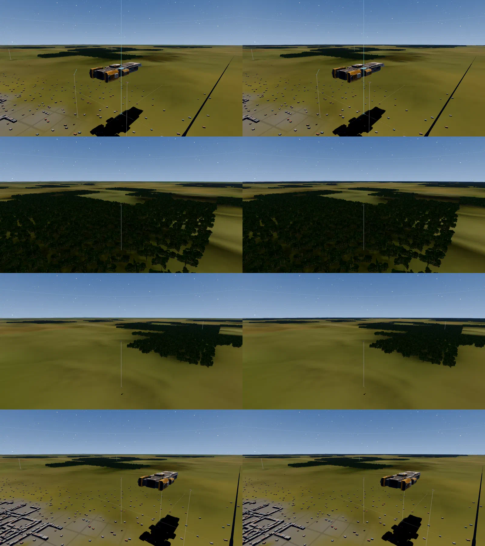
A circle round the camera still had an edge: from about 8 km up, you could see where the forest stopped. So the forest no longer follows the camera. Every 10 km chunk inside the area’s ring, 100 km round its centre, is drawn, fading out over the ring’s last 3 km. Round Bangkok that is 368 chunks and about 664,000 cards.
New forest no longer pops up either: a freshly built chunk fades in over half a second.
Baked forests
Working out what grows in every cell is slow, so it is done ahead of time. For each area the game saves what grows in each 100 m cell and the ground height there. That takes a few MB; saving the finished cards would have taken up to about 290 MB. In a 25 km test ring, the forest filled in 2.3 seconds from the baked data, against 31.6 seconds worked out live, with identical cards either way. The whole Bangkok area fills in about 23 seconds from the baked data, nearest chunks first. Areas without baked data still work: their trees fill in more slowly, with no cost to the frame rate.
The Bangkok bake covers the area plus 60 km round it: 880 chunks and 1.81 million cards, 3.5 MB, baked in about 4 minutes.